At once navigating both the hazards of high-volume car traffic and dilapidated or non-existent urban biking infrastructure, many cyclist commuters in Toronto and Montreal – among other major cities in North America – are well used to running a deadly gauntlet morning and night.
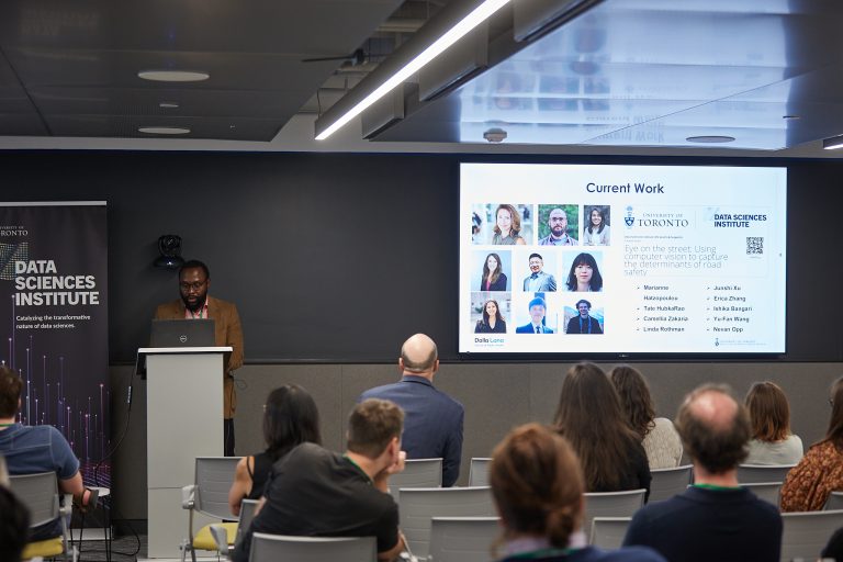
Funded by a Data Sciences Institute catalyst seed grant and co-led by investigators’ Brice Batomen Kuimi (Assistant Professor, Dalla Lana School of Public Health) and Marianne Hatzopolou (Professor, Department of Civil and Mineral Engineering, Faculty of Applied Science and Engineering), Eye on the Street: Using computer vision to capture the determinants of road safety is an innovative project that can contribute to solving the inner-city cycling issue.
The research aims to evaluate several municipal initiatives under Vision-Zero Plans related to road safety and active transportation. Specifically, the project leverages image recognition algorithms to develop a comprehensive database detailing the installation of traffic calming measures across major Canadian cities.
“Getting the DSI funding was very important to building connections, building our team, and getting some initial findings, which has in turn helped us get further funding,” said Brice Batomen. “It’s helped greatly to show credibility of the idea, to bring this work to a bigger stage and to really begin to scale up everything.”
Photo: Harry Choi Photography

With a goal of evaluating existing data – as well as filling in missing data gaps – on cycling infrastructure and traffic calming measures in certain wards and boroughs of Toronto and Montreal, Eye on the Street is helping develop a more complete picture of road use in these metro hubs to help inform future urban planning.
“People always make mistakes while driving,” said Batomen.
“The idea is that a mistake should not lead to a fatal injury or a very serious injury. So, the urban planning and policy thinking is, how can we help redesign the street to first reduce collisions but also reduce the likelihood of a serious injury in the case of a collision. At the same time, we want to promote active transportation, like walking and cycling more, kids walking to school.”
“As an epidemiologist, I want to evaluate if these measures. Do we see change – less collision, less injury, less mortality – after measures are put in place?”

Vulnerable road users are defined as those without rigid barrier protection, such as pedestrians, cyclists, and motorcyclists. Perhaps unsurprisingly, they represent one third of all traffic related deaths in Ontario.
Although several North American cities are implementing physical modifications of the road network to try and help make it safer, including cycling networks, horizontal deflections, vertical deflections and road narrowing and traffic diversions, the impact of these interventions remains insufficiently evaluated due to a lack of comprehensive data on locations and implementation dates.
“In order to evaluate the effectiveness of these measures, you need to know what was there before, compared to what is present now.” said Batomen. “We need to know where and when the interventions were made, such as where did we put the speedbumps? Where are we putting cycling track?”
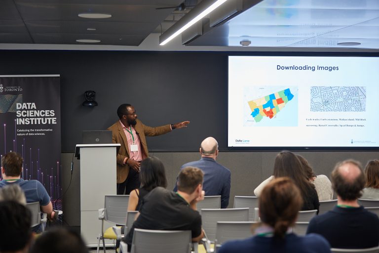
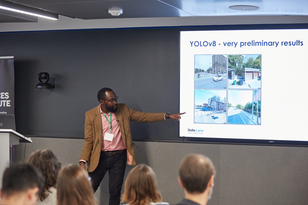
“Of course, we can go to the city and use their open-source maps or request a document to determine when work was done, but it can take time and there can be data missing. But if we use machine learning, we can train a computer to identify objects in images (ie. dog, cat, speedbump). We can provide the computer with tens of thousands of historical street view images of the same street from over a decade and it can determine important changes and timing that can then help fill in missing data sets that can then be compared and evaluated.”

The Eye on the Street project has three main objectives: a) comparing machine learning algorithms in terms of their accuracy in identifying elements of interest in a streetscape environment, b) creating a publicly accessible geodatabase of streetscape environments, and c) evaluating the causal relationships between built environment features and traffic injuries. Prof. Batomen has also supported a student through the DSI Summer Undergraduate Data Science (SUDS) research opportunities to study the impact of automatic speed enforcement on road safety disparities in Guelph.
“The Eye on the Street project is a prime example of the type of work that the Data Sciences Institute’s Catalyst grants are meant to support,” said Gary Bader, DSI Associate Director, Research and Software.
“This project combines the strengths of big data science, machine learning, transportation engineering, and epidemiological approaches to address an important population and environmental health challenge, which is transportation safety.”
